Description
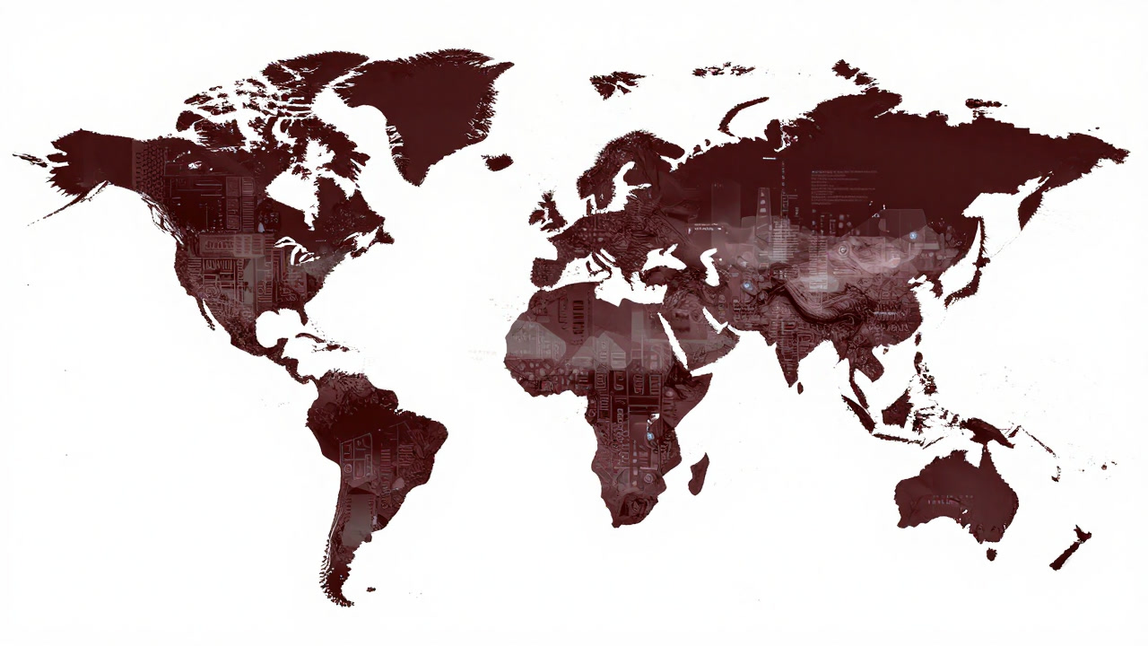
A Geographic Information System is hailed as a magic map granting omniscient oversight of the world’s coordinates. In reality it is a labyrinth of endless layers and parameters that lures its users into eternal bug hunts. Visualizing analysis yields an instant aura of authority, yet behind the scenes errors and misconfigurations writhe in the shadows. The more one believes they mastered this contraption, the more trivial mistakes warp the very map they trust. Users conflate visualization with understanding and lose sight of the living landscapes beneath.
Definitions
- A deceptive mirror that convinces you understanding geography by merely stacking vast spatial datasets.
- A magical map that hides reality behind miscolored coordinates, granting false security.
- A colorful consolation that bathes users in progress by layering nothing but illusions.
- An apparatus that whispers ‘visualize to solve’ while confronting you with infinite configuration dialogues.
- A digital arena boasting advanced spatial analysis but actually breeding grounds for trivial mistakes.
- A visual magic show that makes you believe truth is revealed by colored map overlays.
- A virtual temple that discards real terrain for an abstract realm of coordinates and numbers.
- A staircase to self-delusion, convincing any user that they are an expert simply for opening the software.
- A contrivance that lets you feel world mastery while ignoring the unpaved roads of reality.
- A trap that merges GPS and mapping to lock users in a prison of data and parameters.
Examples
- “Mapping the store locations in GIS? Perfect—forget the delivery trucks but never the color codes.”
- “This map’s layers are more complex than the strata of my soul.”
- “Different coordinate systems again? The map world’s next verbal duel begins.”
- “Visualization project deadline? That’s your cue for infinite bug hunting.”
- “GIS? Oh yeah, the hybrid scam that links illusion with reality.”
- “They said analysis brings transparency? Change the colors and the truth changes too.”
- “New GIS version? It only adds layers, never usability improvements.”
- “GIS for everyone? They just don’t know nobody can read the log errors.”
- “Map won’t load? That’s geography whispering to you.”
- “Experts say spatial analysis will change the world.”
- “Those color schemes are pretty, but what they show is a mystery.”
- “Too many layers? Relax, no one ever organizes them anyway.”
- “GIS? Just a doodling tool for coordinates, right?”
- “Big data? More like geography’s big trick.”
- “He studied GIS and got trapped in the curse of the map.”
- “Vibrant colors equal correct analysis? How optimistic.”
- “I thought aligning coordinates would fix the world.”
- “I want new theme colors more than bug fixes.”
- “Weak GPS signal? The map deity is displeased.”
- “Visualization supremacy is nothing but layer proliferation ideology.”
Narratives
- Satellites and addresses overlap in a tangle that makes the user feel endowed with a god’s view.
- At midnight, the error messages from the analysis server chant like incantations of map black magic.
- In the conference room, staring at colored maps becomes a ritual where no one ever takes action.
- No matter how detailed the terrain model, it inevitably collapses under one trivial mistake.
- Every new project starts in the minefield of choosing a coordinate system.
- Layers proliferate unchecked, leaving analysis files in the graveyard of unread logs.
- He proclaimed ‘visualize it and you’ll understand,’ then drowned in a sea of log files.
- When coordinate transformation flips the map 180 degrees, worldviews tremble at their foundations.
- Waiting for orthophoto tiles, someone mutters into the void in anticipation.
- He thought he mastered GIS, only to be tripped by mundane color schemes.
- The corporate illusion that real-time data integration grants ultimate power.
- Between grids and layers, the user’s intention is painted over.
- An ancient JavaScript plugin quietly freezes the latest map application forever.
- The more precise the coordinates, the more terrifying a single zero misplacement becomes.
- A vivid red heatmap triggers a red alert of fear in the executive suite.
- Auto-correction features redraw boundaries that unknowingly cross national borders.
- Users trust the PDF report and forget the muddy roads of reality.
- Morning coffee spills warp data more than any spatial statistic.
- Backup data may be preserved perfectly, but the admin’s sanity is left behind.
- The more you dream of a perfect map, the deeper you wander into a forest with no way out.
Related Terms
Aliases
- Layer Swamp
- Coordinate Cage
- Visualization Con Artist
- Coloring Wizardry
- Bug Panorama
- Data Labyrinth
- Mapping Junkie
- Map Alchemy
- Spatial Black Box
- Magic Map
- Analysis Trap
- Coordinate Chaos
- Visual Mirage
- Layer Hell
- Grid Prison
- Project Tomb
- Geographic Prankster
- Parameter Minefield
- Scale’s Curse
- Mapping Marvel
Synonyms
- Spatial Magician
- Map Puppet
- Coordinate Reverser
- Bug Generator
- Color Brainwasher
- Data Alchemist
- Geographic Ghost
- Analysis Nectar
- Mapping Maniac
- Coordinate Demon
- Layer Addict
- Visualization Core
- Map Specter
- Spatial Madness
- Parameter Queen
- Bug Haven
- Data Incantation
- Color Overlord
- Geographic Fang
- Invisible Surveyor
Use the share button below if you liked it.
It makes me smile, when I see it.