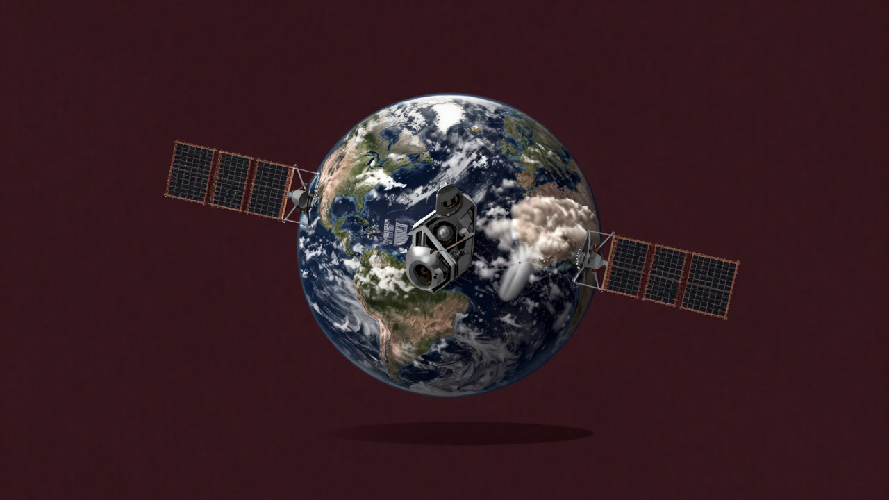
Description
Satellite imagery is the practice of pretending to survey the Earth from above while actually satisfying the voyeuristic desires of governments and corporations. It strips secrets from beneath the clouds, ruthlessly monitoring urban sprawl and military exercises alike. Scientists thrill at new discoveries, militaries seek targets, and marketers read population shifts. What rains down from space is no longer a beacon of curiosity but an obsession with invading privacy.
Definitions
- An aerial spy operation that exposes Earth’s secrets in high resolution.
- A digital telescope barking public interest while prioritizing corporate profit calculations.
- A surveillance industry proceeding under the guise of cloud-penetrating Earth tomography.
- Called a satellite lens but actually a torture device for privacy decryption.
- A data hawk that preys on personal information where coordinates meet pixels.
- A cosmic engineer working on the front lines of war and resource acquisition.
- Boasts of visualizing unknown terrains while its analysis ends up in revenue forecasts.
- A visual nightmare that convinces you you’ve seen the invisible and exposes what you’d rather not.
- A myth that if an artificial satellite’s heartbeat stops, global espionage ceases.
- A tragic gift that saw military use overshadow astronomy.
Examples
- “According to the satellite imagery, your backyard barbecue is trending upward in heat signatures.”
- “We’re tracking the CEO’s vacation home via satellite imagery. Overtime excuses incoming.”
- “This analysis tool calls deforestation ’environmental research’—nice rebranding, right?”
- “Satellite imagery for academic study? It’s actually used to build ad-targeted population maps.”
- “The latest images even reveal every sizzling steak on your rooftop grill.”
- “Monitoring shifting borders? Sounds noble until you see it’s about resource grabs.”
- “Picking cloud gaps is like guerrilla warfare in the info realm.”
- “They monitor crops via satellite while ruthlessly allocating subsidies.”
- “CCTV is so last decade—satellite imagery is the new all-seeing eye.”
- “Population density maps? More like a directory of consumers.”
- “Researching sea level rise? Sure, until it’s used to calculate insurance premiums.”
- “Satellite imagery is vital for volcano predictions, but it often gets rerouted to military drills.”
- “Centimeter-level resolution—are they really trying to strip your backyard bare?”
- “Predicting traffic jams with satellite imagery? Drivers’ rage and air pollution excluded.”
- “Privacy invasion? Oh, but if it’s ‘public safety,’ that’s a bureaucrat’s favorite get-out-of-jail card.”
- “Old satellite images showed my wildflower meadow replaced by an oil refinery.”
- “Celebrating a new satellite launch is just rejoicing over expanded surveillance.”
- “Your secret walking path is now completely exposed.”
- “Satellite imagery doesn’t reflect truth; it reflects profit and convenience.”
- “That hot gaze from space? It’s really a cold, unblinking eye of surveillance.”
Narratives
- Satellite imagery turned a mountain hideout into prey for national surveillance.
- Scientists claimed to read the Earth’s heartbeat, yet most data went to ad inventory purchases.
- The boy who once gazed at stars now finds himself watched through satellite imagery.
- Privacy debates heat up, but no one can defy the latest high-resolution snapshots.
- The spring melt captured by satellites fueled a corporate dam project before helping local farms.
- At the UN, satellite images were presented as incontrovertible evidence, shutting down debate.
- Deforestation scars are vivid to the satellite’s eye while local voices are drowned out.
- Those boasting cloud-penetration tech remain indifferent to the breaths of people below.
- It’s praised that resource wars don’t begin without satellite imagery in modern times.
- With each resolution upgrade, residents’ lands fall further under the watchful gaze.
- The irony of scientific progress and surveillance proliferation advancing through the same lens.
- Just as explorers once mapped constellations, satellites now map our world.
- Climate predictions serve as a pretext while military maneuvers are tracked behind the scenes.
- The satellite’s perspective is omnipotent, but justice does not always follow.
- Image processing algorithms edit reality, delivering only the most convenient cuts.
- Timestamps on captures become the rulers’ seals marking time by their convenience.
- Satellites drift in space as rent-seekers of profit.
- For privacy seekers, satellite imagery is the dawn of a nightmare.
- Deserted villages still appear inhabited on satellite photos.
- Satellite imagery is Earth’s résumé; its recruiters are corporations and armies.
Related Terms
Aliases
- Sky Voyeur
- Earth Stalker
- Pixel Peeper
- Cloud Detectiv
- Cosmic Spy
- Surveillance Hawk
- Night Sky Binoculars
- Data Hunter
- Cloud Piercer
- Privacy Thief
- Orbital Telescope
- Secret Seeker
- Orbit Ninja
- Galaxy Browser
- Optical Dismantler
- Resolution Magician
- Satellite Scales
- Map Dissector
- Silent Eavesdropper
- All-Weather Inspector
Synonyms
- Ground Surveillance Cam
- Space Binoculars
- High-Res Peeping Machine
- Orbital Camera
- Spatial Recon Soldier
- King of Remote Sensing
- Privacy Microscope
- Omni Shooter
- Cloud-Clearing Lens
- Earth Magnifier
- Data Prospector
- Vision Torture Chamber
- Observation Puppet
- Pixel Parasite
- All-Sky Shooter
- Secret Dawnlight
- Satellite Eyepiece
- Phantom Image Maker
- Digital Spy Gadget
- Aerial Weapon
Use the share button below if you liked it.
It makes me smile, when I see it.